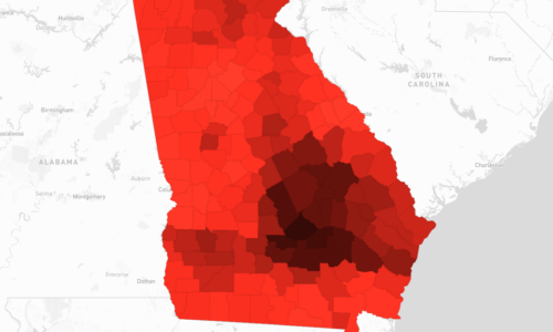
+Indicator Methodology
The analysis of Air Pollution via estimates of outdoor concentrations for NO2 and O3 employs Land Use
Regression (LUR) models from the Center for Air, Climate, and Energy Solutions to estimate outdoor
concentrations of O3 (ozone) and NO2 pollution across the contiguous United States from 1979 to 2020 [1]. The
models utilized provide estimates for various air pollutants, including O3, CO, SO2, NO2, PM10, PM2.5, and PN
(particle number) [2]. The data are derived from empirical models developed by the Center for Air, Climate, and
Energy Solutions (CACES) and are publicly available for non-commercial use. In the methodology used for
aggregating and formatting ozone (O3) and nitrogen dioxide (NO2) data based on county dimensions, files adhere
to a structured format provided by the Center for Air, Climate, and Energy Solutions. This format includes unique
geographic codes for spatial referencing, alongside attributes such as prediction year, state abbreviation, pollutant
type, population-weighted concentration estimates (pred_wght), and population-weighted latitude and longitude
coordinates (lat/lon). These attributes ensure compatibility with Geographic Information Systems (GIS) and
facilitate spatial analysis and mapping for research and policy applications.


